
Drone Roof Documentation in Winnipeg
PrairieView Aerial captures every roof plane, edge and component from the air, giving roofers, property managers and homeowners a clear visual record without anyone climbing a ladder. We document what's visible; we don't provide inspection reports or assessments.
Get a QuoteWhat you'll receive
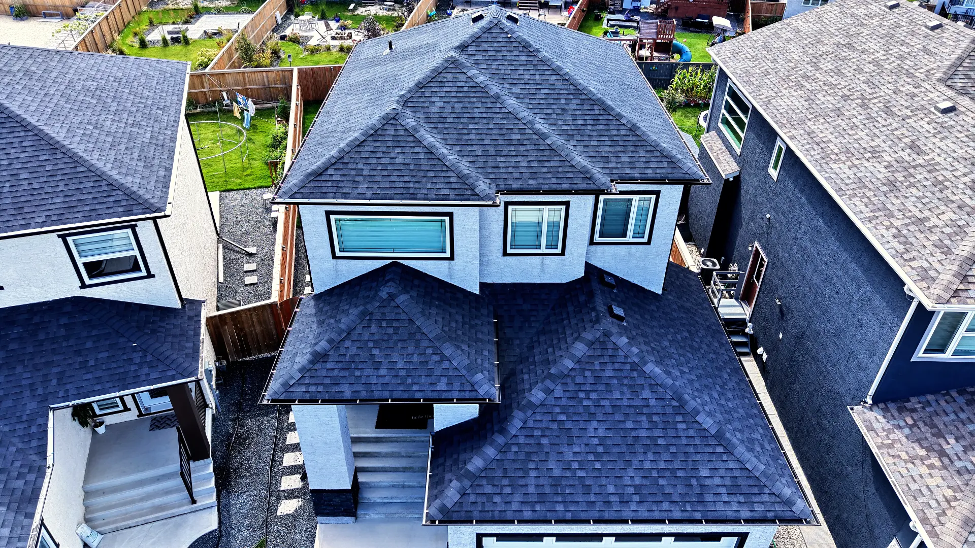
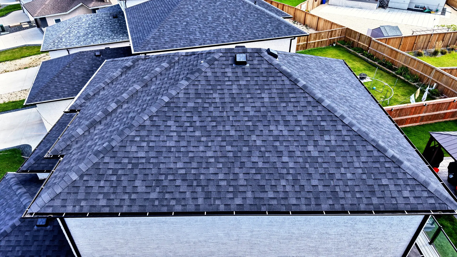
- Front, rear, left and right elevation photos
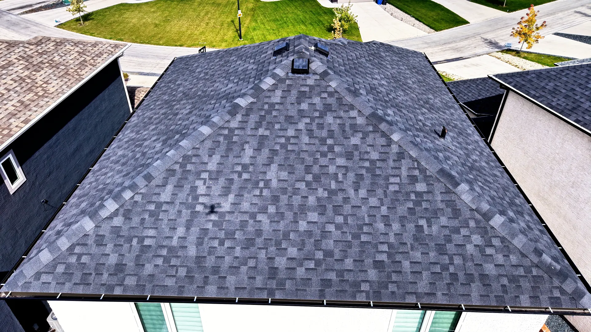
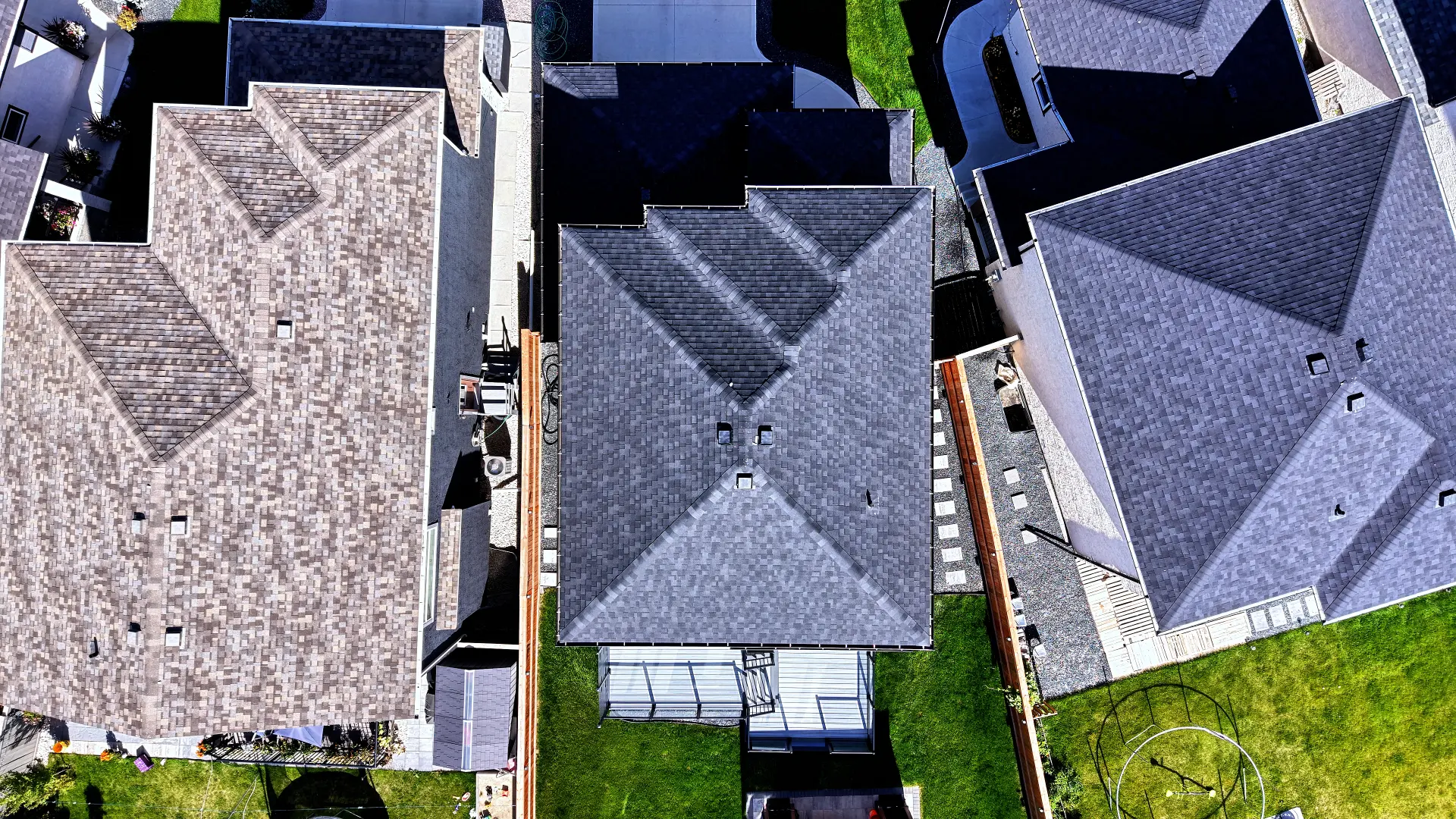
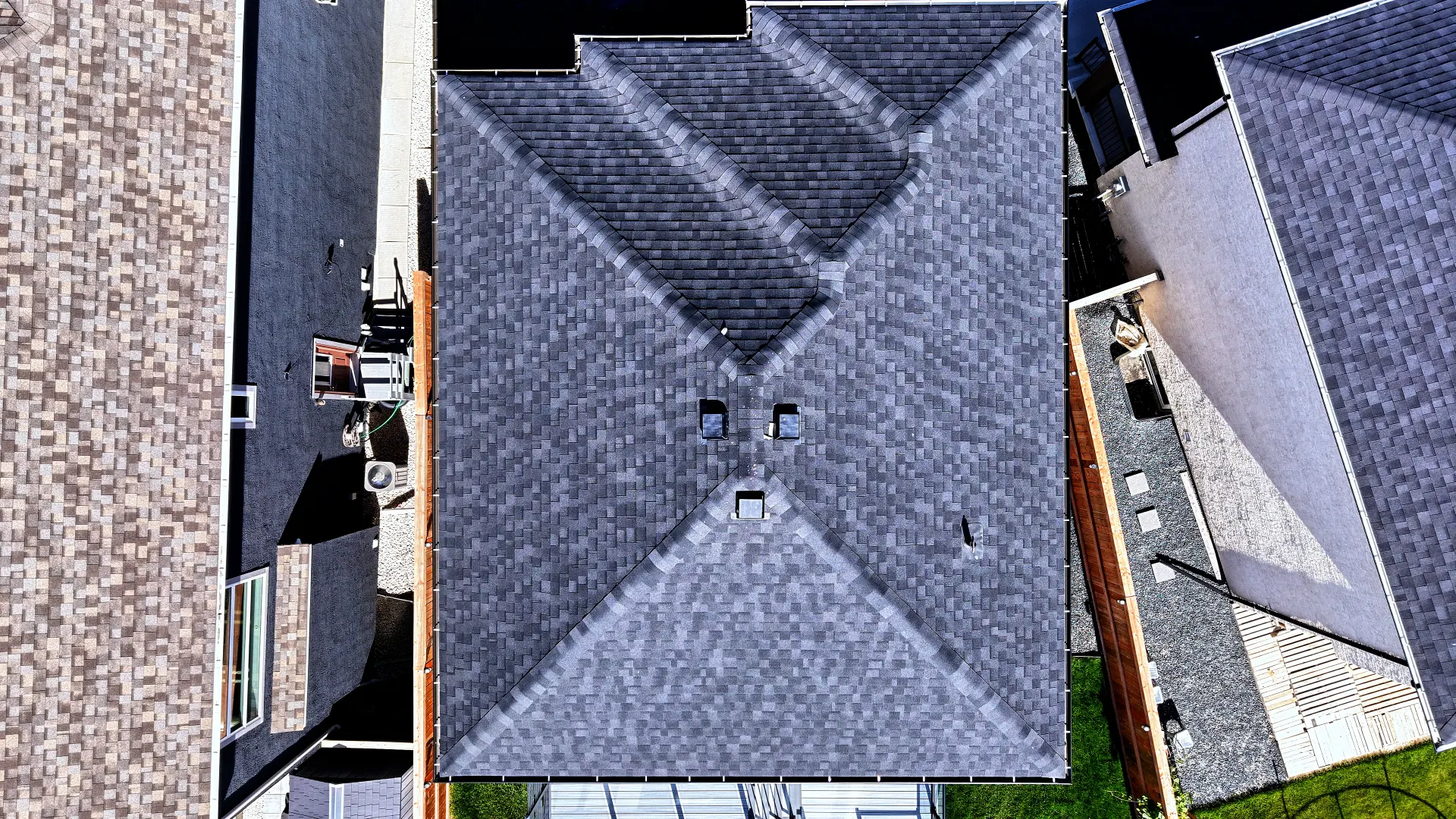
- Top-down views of the whole roof and each plane
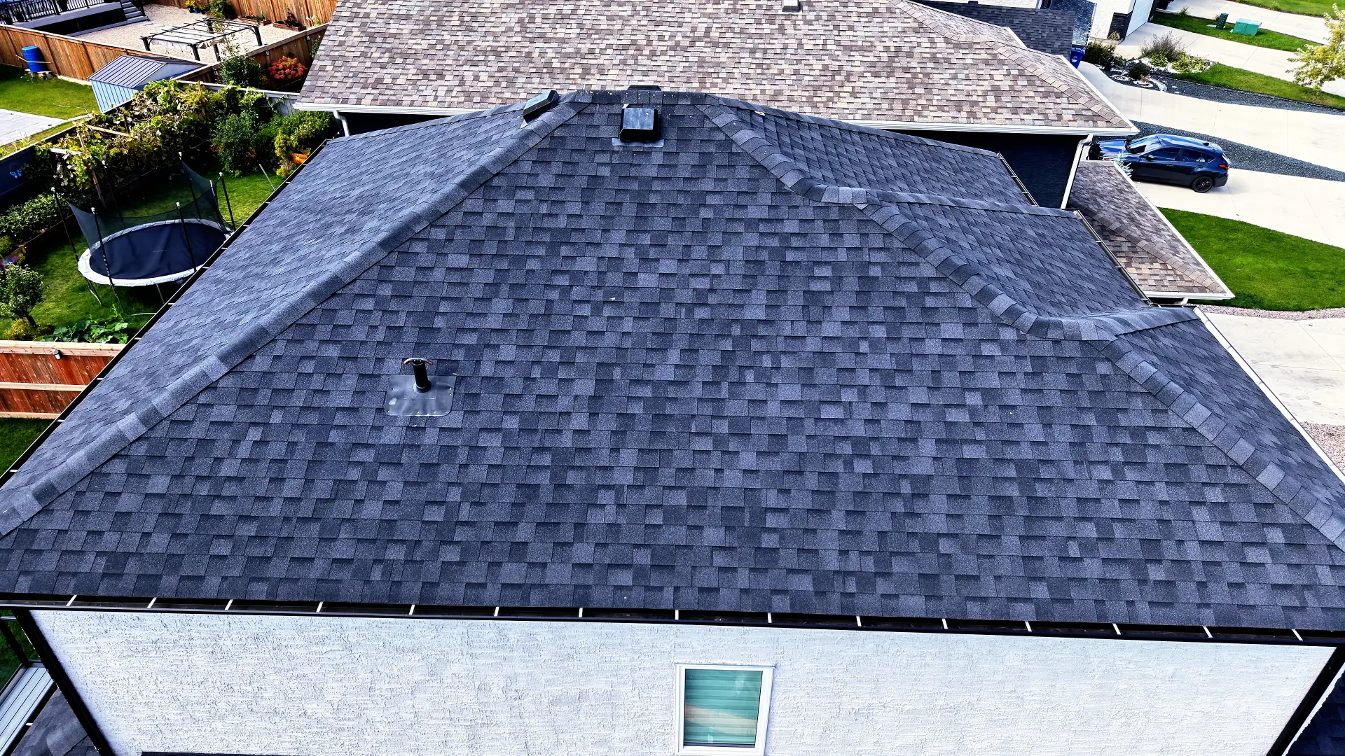
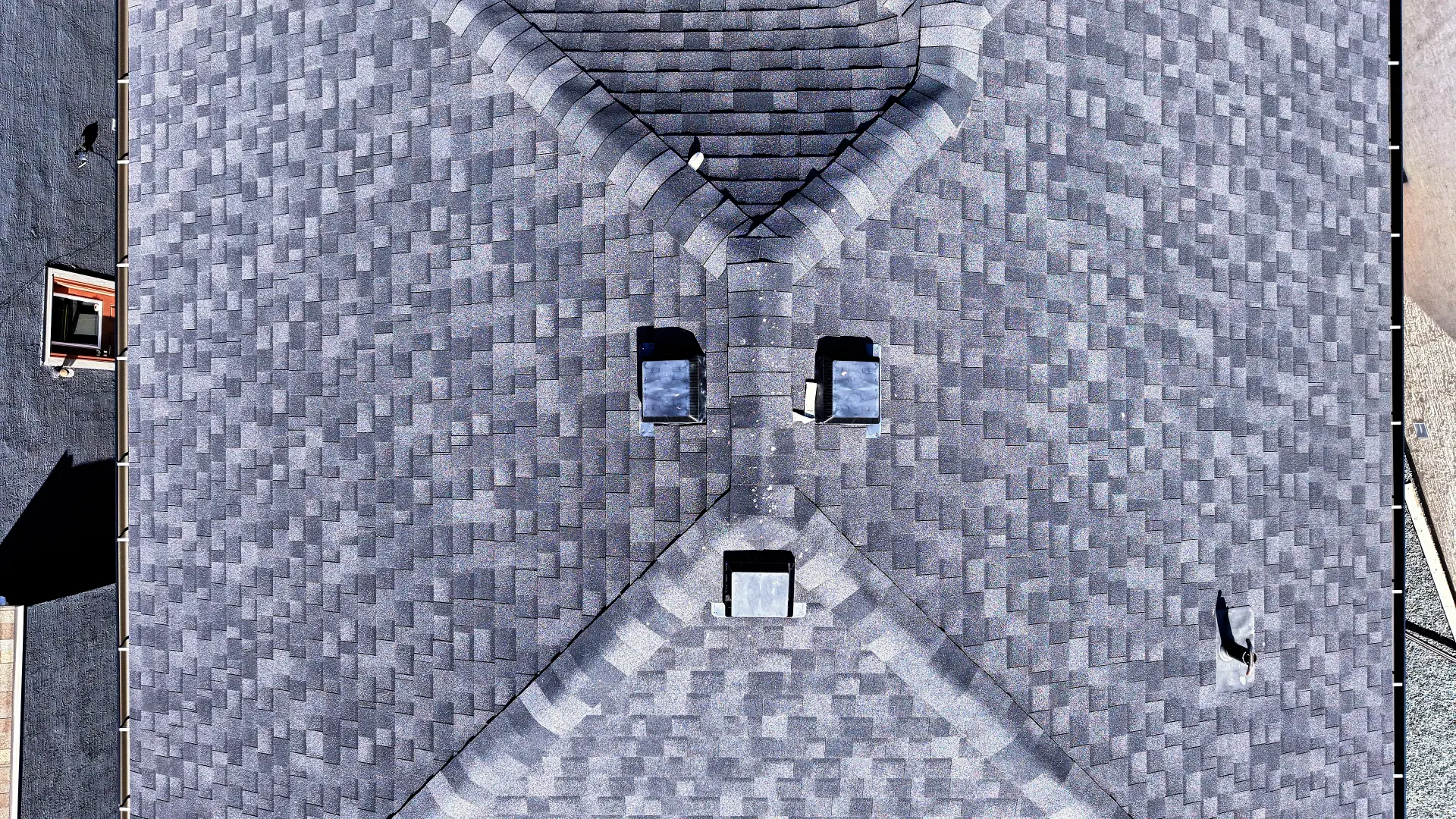
- Close detail shots of edges, drainage, vents and transitions
- Orbit and pass video of the full roof
- Organized, labelled files delivered digitally
Who it's for
- Roofing contractors quoting jobs
- Property managers tracking roof condition
- Homeowners before or after repairs
- Insurance and claim records
Sample work
Roof Documentation
Orbiting pass showing every side of the roof.
Roof Documentation
Top-down view for a clear look at roof condition.
Every flight is planned for safety and compliance and flown by a Transport Canada certified RPAS pilot based in Winnipeg, Manitoba.
Common questions
Is this a roof inspection?
No. We provide aerial photo and video documentation of visible roof conditions. Any assessment should be done by a qualified roofer or inspector using our imagery.
How much does drone roof documentation cost?
Pricing depends on property size and location. Contact us for a quick quote.
How fast will I get the photos?
Most roof documentation is delivered within a few business days of the flight.