
Storm-Damage Drone Documentation in Winnipeg
After hail, wind or heavy storms, PrairieView Aerial quickly captures detailed aerial imagery of roofs, siding, yards and structures so you have a clear, dated visual record for insurance claims and contractors.
Get a QuoteWhat you'll receive
- Wide overview shots showing the full property
- Close aerial detail of visible damage areas
- Roof planes, gutters and edges captured systematically
- Video walkthrough from the air
- Dated, organized files ready to share with insurers
Who it's for
- Homeowners filing insurance claims
- Adjusters needing aerial evidence
- Contractors scoping repairs
- Commercial property owners
Sample work
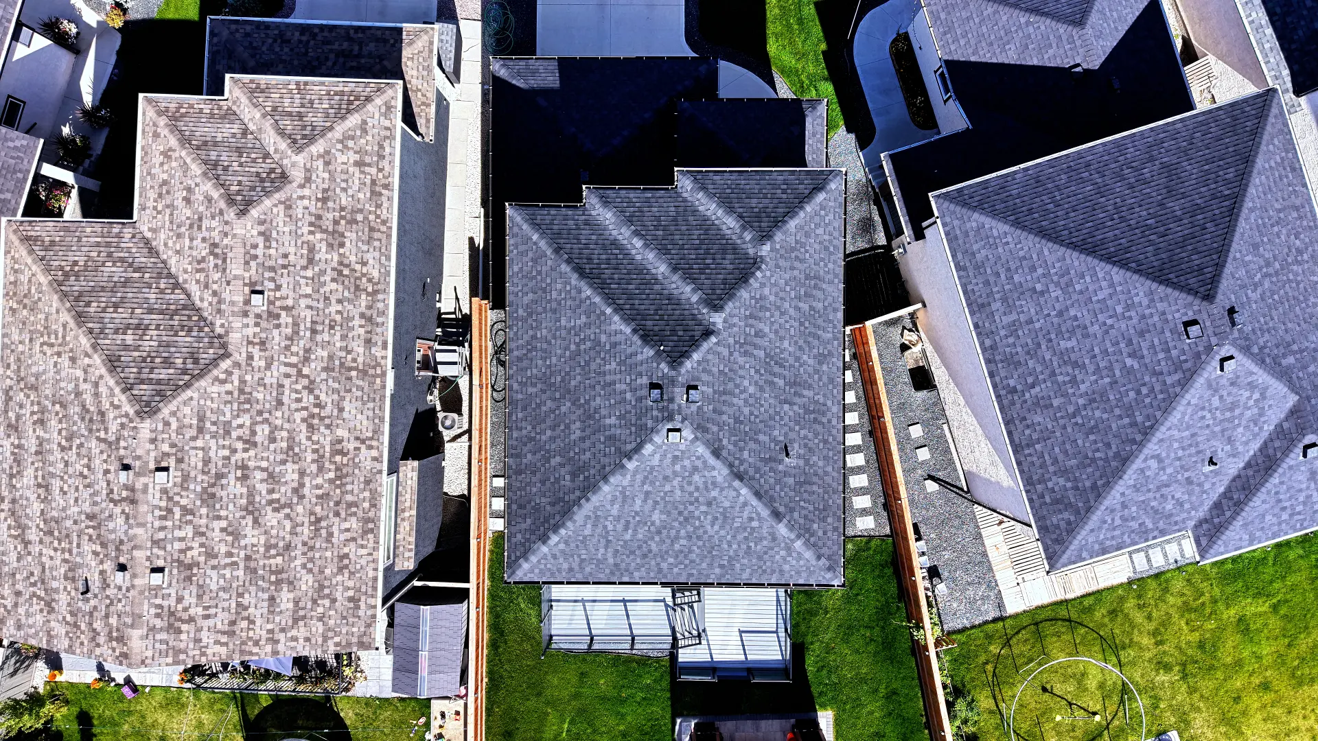
Roof Documentation
Orbiting pass showing every side of the roof.
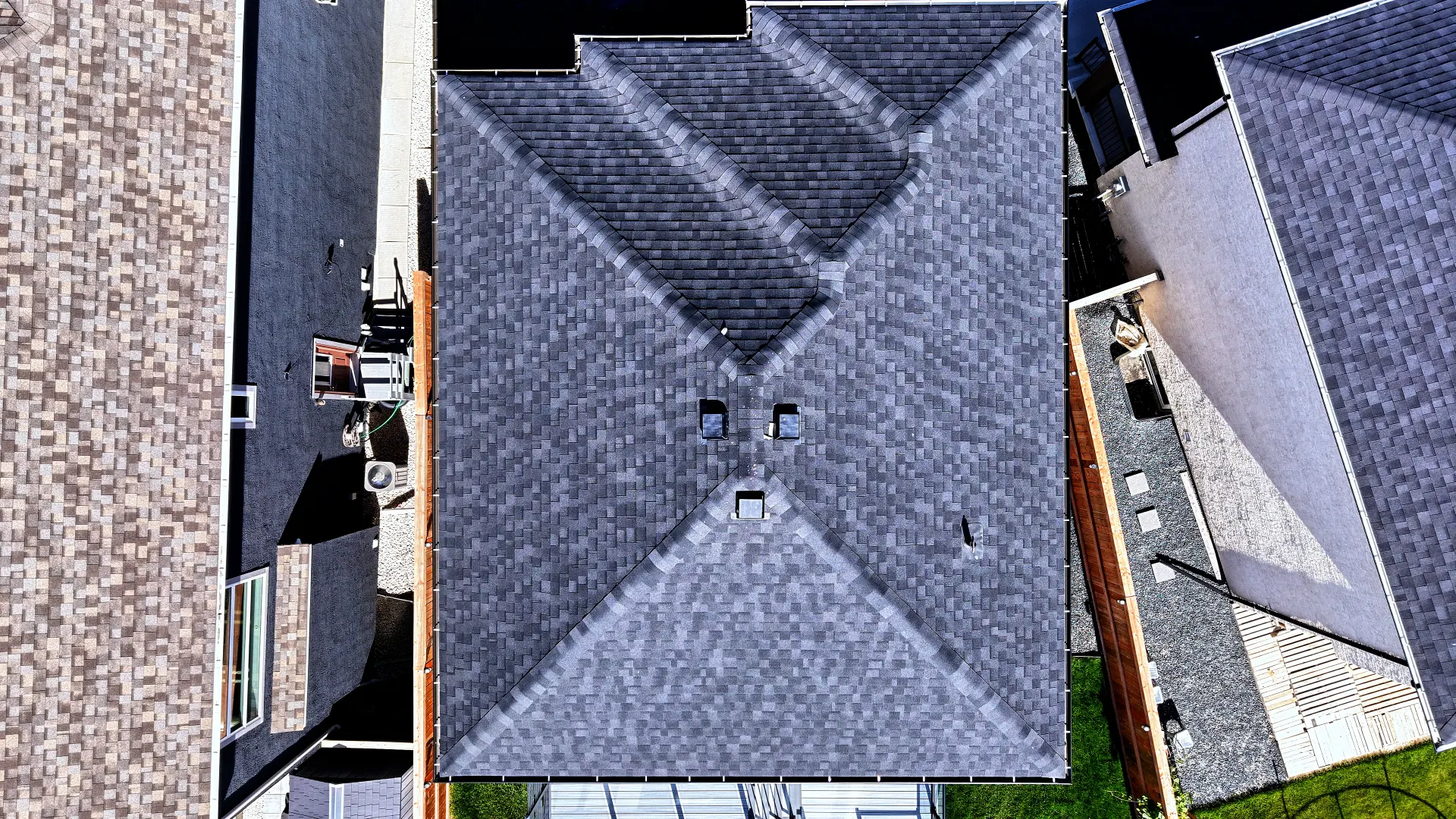
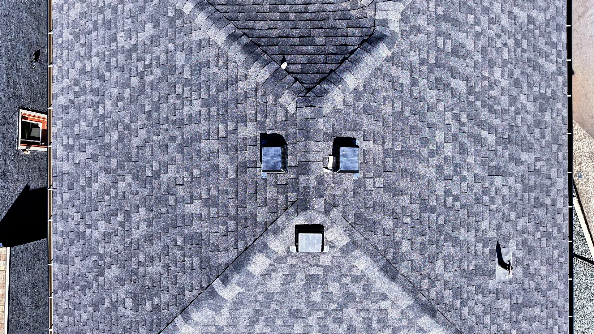
Roof Documentation
Top-down view for a clear look at roof condition.
Every flight is planned for safety and compliance and flown by a Transport Canada certified RPAS pilot based in Winnipeg, Manitoba.
Common questions
How soon after a storm can you fly?
We schedule as quickly as weather and airspace allow. Contact us as soon as it's safe.
Can I send the photos to my insurance company?
Yes. Files are delivered digitally and organized so they're easy to share with adjusters and contractors.
Do you assess the damage?
We document visible conditions from the air. Damage assessment is left to your adjuster or contractor.